
California Dreaming, Part One
- dougsmith51
- Mar 16, 2024
- 8 min read
NOTE: There’s more to write about our time in California than will fit in a reasonable-length blog entry. We’re dividing our California adventures into two parts. This is the first.

We’d had a great time in Mexico, but it was time to start our exploration of the California coast. From our San Diego campground we drove 75 minutes north to the port of Dana Point, where we boarded the Catalina Express for a day trip out to Catalina Island. We’d visited once before, on our 30th wedding anniversary, and wanted to go back.

After a 90-minute crossing of 22 miles, we arrived at the small port town of Avalon, one of just two towns on the island. Most of the island is wild and mountainous, and over 85% is protected by the Catalina Island Conservancy.
Avalon is a popular tourist town with lots of shops and restaurants. It’s most famous for its iconic dance hall and theatre, a round building called the Casino (although no gambling has ever occurred there).

We had a quick brunch in town and walked to see the Casino with its Art Deco mosaic wall friezes and architecture. From there, we had a great view of Avalon and its harbor.


Then we walked to the offices of the Conservancy. Most of the island had been bought by the Wrigley family (of gum and Chicago Cubs fame) in the 1910s, who donated a large portion to the Conservancy in 1975. We’d arranged for a three-hour backcountry tour of the island. Even though the Conservancy’s open-air truck can seat 10, we were the only two guests so we got a personalized tour led by our guide Tom.

Leaving town, we drove up steep roads and quickly reached the island’s heights.

It was as beautiful day, and even Tom marveled at how clear the air was – he says sometimes it’s so foggy you can barely see 30 feet. We could see Los Angeles in the distance, and several mountain ranges covered with snow. We could even see the San Jacinto Mountains by Palm Springs, which must have been at least 60-70 miles away.
Due to its remoteness, Catalina has native plants and animals found nowhere else.


Many invasive species of animals and plants were brought over in the early 1900s (including some by the senior Wrigley, who liked to hunt), but most of these have been removed by the Conservancy. Still up for debate are the island’s buffalos – we came on one dining right by the road. The Catalina buffalo are smaller than their western kin due to limited browsing on the island. Their small size makes introducing them to another buffalo habitat impossible.

During our tour, we visited the small Catalina airport.

We also drove by a ranch still owned by the Wrigleys, where they also have a vineyard.


Crossing over the island, we saw glimpses of beautiful mountains and rocky beaches.

We returned to Avalon, where we grabbed some ice cream before boarding the boat for the ride back to Dana Point.
We packed up the RV the next morning and drove all day to get to Ventura, which sits on the coast north of Los Angeles. We did not relish driving on L.A. freeways in the Ciaowagen, so took an easterly route that skirted the edges of the area. We thought we had a clear shot to our campground near the town of Santa Paula, but a recent landslide had blocked the main road to the campground and we had to circle all the way over to the coast and then back up the winding Ojai Valley, which added an hour to our travel time. The road to the campground showed scars of recent landslides and the camp owner said that the main road to the campground would not be drivable for several months. We felt sorry for the Californians that worked in the area, suddenly having a hour added to their daily commute.
Ventura was the jumping off point for the next national park we wanted to notch off our list: Channel Islands National Park. There are eight Channel Islands that sit off the California Coast. Five are in the national park, two (San Nicolas, San Clemente)are controlled by the military, and the final one is Catalina.

Rainy weather was predicted for much of our time in the area, so our first day we set out for a three-and-a-half hour cruise out to and around Anacapa Island, the closest island to Ventura. It was a cool but sunny day and we dressed warmly so we could ride on top of the boat and see the views.


We passed a couple of offshore oil rigs on our way out.

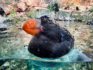
The island is quite rocky and a haven for birds such as brown pelicans and for sea lions.


Arch Rock sits at the island's end and is the symbol of Channel Islands National Park.

On the trip back to Ventura we watched two gray whales migrating north. We also ended up in the middle of a huge pod of common dolphins who were looking for fish. There must have been hundreds leaping into the air and riding in the ship’s wake. It was magical, and the captain told us she’d rarely seen that many together at one time.
The next day we drove to the town of Simi Valley and visited the Ronald Reagan Presidential Library and Museum, one of the nicer Presidential Libraries we’ve visited.

In addition to many exhibits about Reagan’s childhood, film career, and entry into politics (including serving as California’s Governor before becoming President), the museum housed a replica of the Oval Office, the Boeing 707 Air Force One he used, and one of the Marine One presidential helicopters.


We spent the next two days back at the campground as Doug had volunteer work to catch up on, and we also needed to clean the RV and do laundry. The KOA we were staying at had a flock of wild peacocks (escaped from a nearby ranch, we were told) who spent the day making loud calls that sounded like cats meowing and hanging out everywhere.

Mating season was approaching, and we saw the male peacocks showing off their plumage to the females. Sadly this guy did not impress the ladies.

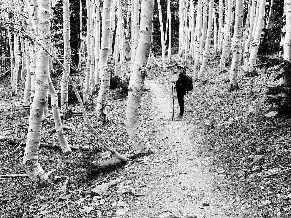
Then it was time to move north again, this time to the town of Salinas near the coast and Monterey. On our first full day, we drove an hour north to Henry Cowell Redwoods State Park, which houses an old-growth stand of tall and majestic redwoods. The majority of California’s coastal redwoods were logged in the late 1800s and early 1900s, so while there are young redwoods seen in many places on the California coast, old-growth forests are rare. Some of the trees in the park are 1,500 to 2,000 years old.


Redwoods survive best in rainforest conditions and frequent fog. They are the tallest trees in the world, reaching heights nearing 300 feet. As we walked through the grove, we felt tiny in comparison.

The redwoods grow from tiny acorns the size of an olive. They can also grow by propagating from old trunks, and we saw several trees bunched together, children of a parent that no longer exists.

We saw piles of wood ready for controlled burning, although these were from trees other than redwoods such as Douglas Firs. A ranger said they have at least 1-2 burns per week during the drier season.

Redwoods themselves are pretty fire-resistant, and we saw a number of trees with blackened trunks or burned-out cores which were still doing fine. The growing tree layer that nurtures the tree and transports moisture is right below the bark, unlike most trees that send their nutrients through the woody middle of the tree.
Before leaving the park we hiked up a long, climbing fire road, and reached a viewpoint where we could see Santa Cruz in the distance with its beaches and amusement park.


The next day it was raining, so we drove to Monterey to visit the world-famous Monterey Bay Aquarium. It’s quite large. There are exhibits on many types of sea life such as fish, eels, jellyfish and sea birds such as puffins and penguins. There is a large aquatic tank with sharks, rays, tunas and sea bass, as well as schools of mackerel.


There’s another large aquatic tank showcasing the area’s kelp forests and the fish that inhabit them.

The aquarium sits right alongside Monterey Bay. Water from the Bay is pumped directly into the fish tanks, ensuring a healthy environment for all.
Finally, the auditorium hosts a dozen programs during the day, where lecturers talk live while using videos to illustrate their talks. We watched a program on Baja, as well was one that talked about the Aquarium’s deep sea research efforts.

After our time at the Aquarium, there was enough daylight left for us to drive on the famous 17-Mile Drive, a private drive that winds through multimillion-dollar homes and the Pebble Beach golf course. The day was windy and stormy, and we stopped a couple times near the sea to watch huge waves throwing spray into the air.


We also stopped to see the iconic Lone Cypress, star of many a Monterey-area postcard.

On our last day in the area, we drove south on California Route 1, the beautiful Pacific Coast Highway. It winds along the sides of the mountains that rise directly from the sea. We were able to drive to Big Sur and a few miles beyond.


We stopped to see McVay Falls, whose narrow stream dumps directly onto a beach.

The coast road beyond that has blocked for months due to mudslides. On our return northward, we stopped several more times to take in the dramatic views.


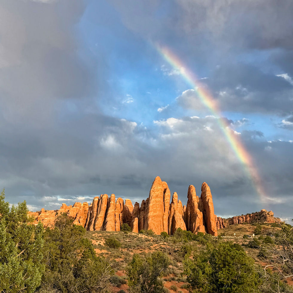
Leaving the Salinas area, we drove an hour south and slightly east to Pinnacles National Park. It's a smaller, less well-known park, but still dramatic and beautiful.

They did not have peacocks at the park campground, but they did have a troop of wild turkeys where we watched the Toms trying to corral the females - we could tell it was mating time, but alas the ladies seemed to be more interested in eating!

The Pinnacles are the result of volcanic eruptions millions of years ago. A tectonic fault runs through the area. Only two-thirds of the volcanic mountains are located in the national park. The other third is some 200 miles south on the other side of the fault!
We first hiked in the eastern side of the park. There is no direct road across the mountains. You need to drive south around the end of the park to reach the western side of the park, even though the ends of the eastern and western park roads are only 3-4 miles distant from each other.
As the volcanos have eroded, large blocks (talus) have fallen off and piled up in narrow valleys. Because of the blocks' size, small caves have been left underneath and you can hike through them.


We hiked the Moses Spring trail up to a pretty, manmade reservoir.


Pinnacles is also a destination for climbers, and we watched a skilled climber scramble up a rock face.

The next day we drove to the western portion of the park, where it was easier to see the Pinnacles laid out on a north-south axis.

We began a hike along the Balconies Trail to explore a canyon.


However, time pressures were such that we could only go in a short distance. A good thing too, as it started raining on our hike back to the car. We turned and looked back, and were amazed to see multiple waterfalls cascading down cliffs that had been completely dry five minutes before!

We packed up the next day, drove to California's central valley and checked into Visalia, the gateway city to several national parks in the Sierra Nevada mountains. More about those park visits (some of which are new to the Ciaowagen) and the rest of our California adventures in our next blog entry, California Dreaming Part 2.

I love these pics and the stories of the various sites. Thank you for sharing! Have a wonderful trip and be safe.
Doug, I love reading your posts and learning more about our country through your travels. The tour of Catalina Island was wonderful. My grandparents lived there and I visited them often and then spent my first college summer with them and worked at the bike shop near the entrance of the ferry. I haven't been there since I was 21. Magical place for me. Thank you for the tour!!